
City guide

Seoul서울

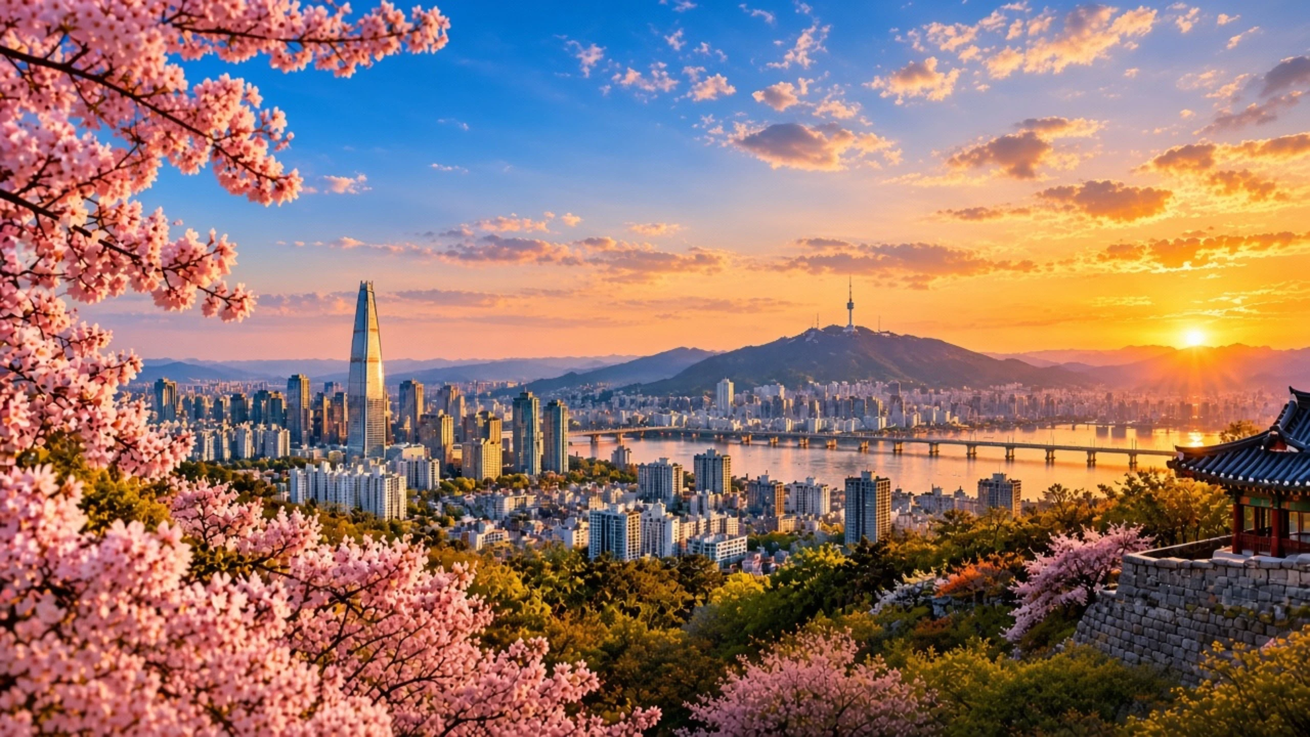
Seoul at sunset with cherry blossoms, the Han River, and Namsan Tower
Photo: XingAI Travel

First time in Seoul?

Seoul's historic core sits north of the Han River: palaces and hanok lanes in Jongno, shopping around Myeongdong, and Namsan above them. Gangnam and the river parks lie south; the metro ties both sides together.

Not listed here: opening hours, prices, closures and events. They change, so check them before you go.

Practical info

Best season
The page doesn't name a season — the historic core is north of the Han, Gangnam and the river parks south, and the metro ties both sides together. Come when you can give the north a full day and the south another.
Suggested days
2–3 days. One day covers the palaces and hanok lanes north of the river; a second takes Myeongdong, Namsan and the south side; a third only if you want the river parks at the same slow pace.
Our take
Best for metro riders who split the city by the river. Skip trying to walk between the two sides — the intro's whole structure is north and south, tied by the metro — and skip spending the whole first day in one shopping street.

Our own judgment, based on what's on this page — no ranking cited.

Places worth knowing

21 places across 7 areas. Every fact links to its source.

Gyeongbokgung Palace경복궁

Jongno & Gyeongbokgung

  • Iconic
  • Culture
  • Photo spots

The largest of the Five Grand Palaces of the Joseon dynasty, built in 1395 in what is now Jongno-gu. It served as the main royal palace and has been restored in stages since the late twentieth century.

Outdoors · Best in the morning · 60–120 min (estimate)

2 sources
Open in maps

Changdeokgung Palace창덕궁

Jongno & Gyeongbokgung

  • Culture
  • Iconic
  • Nature

A Joseon royal palace built in 1405 east of Gyeongbokgung. Its rear garden (Huwon / Secret Garden) is part of the site inscribed on the UNESCO World Heritage List in 1997.

Outdoors · Best in daytime · 60–120 min (estimate)

2 sources
Open in maps

Bukchon Hanok Village북촌 한옥마을

Insadong & Bukchon

  • Photo spots
  • Culture
  • Iconic

A neighbourhood of traditional Korean hanok houses between Gyeongbokgung, Changdeokgung and the Jongno area. Many houses are still lived in; alley viewpoints looking toward modern Seoul are widely photographed.

Outdoors · Best in the morning · 40–75 min (estimate)

Sungnyemun (Namdaemun)숭례문

Myeongdong

  • Iconic
  • Culture
  • Photo spots

The southern gate of the old Seoul City Wall, also called Namdaemun. It is a National Treasure of South Korea; after a 2008 fire it was restored and reopened in 2013.

Outdoors · Any time · 15–30 min (estimate)

2 sources
Open in maps

N Seoul TowerN서울타워

Itaewon & Namsan

  • Iconic
  • Photo spots
  • Night

A communication and observation tower on Namsan, opened to the public in 1980. At 236.7 m from the base of the tower structure, it is a widely recognised skyline landmark of Seoul.

Indoors & outdoors · Best at sunset · 60–100 min (estimate)

2 sources
Open in maps

Dongdaemun Design Plaza동대문디자인플라자

Dongdaemun

  • Photo spots
  • Culture
  • Iconic

A Zaha Hadid–designed cultural and exhibition complex in the Dongdaemun area, opened in 2014 on the site of the former Dongdaemun Stadium. Its curved aluminium exterior is a frequent photography subject.

Indoors & outdoors · Best in daytime · 45–90 min (estimate)

3 ways to experience Seoul

None of them is “the best”. Each one gives up something to get something else.

Seoul Essentials

Palace courtyards, hanok lanes, a busy shopping street, then the city from Namsan at dusk.

Why this route

  • • It covers the three images first-timers come for: palace, hanok lanes, and the Namsan view.
  • • One line south through neighbouring clusters — no backtracking and no river crossing.
  • • Walking between stops keeps the day readable: you feel how the old centre sits against the hill.

Good for

  • A first visit with one day
  • Clear landmarks without a long metro day
  • Getting your bearings before exploring on your own

Trade-offs

  • • These are busy sights. Expect queues at the palace and tower, and crowded lanes in Bukchon.
  • • Most of the day is outdoors. Rain or haze cuts the Namsan payoff hard.
  • • Little deep food culture. Pair it with the Local route on another day.

Adjust this route

Simple rules over the places on this page. Nothing is generated, and every change says why.

Map

Han RiverJongno & GyeongbokgungInsadong & BukchonMyeongdongDongdaemunChangdeokgung PalaceJogyesa TempleMyeongdong CathedralNamdaemun MarketSungnyemun (Namdaemun)Dongdaemun Design PlazaDongdaemun MarketGwangjang MarketCheonggyecheon12345

Schematic map, not for navigation. Use “Open in maps” for directions.

Stop by stop

All times are estimates.

  1. About 1 h 15 min hereOpen in maps
    About this place (sourced)

    The largest of the Five Grand Palaces of the Joseon dynasty, built in 1395 in what is now Jongno-gu. It served as the main royal palace and has been restored in stages since the late twentieth century.

    2 sources
  2. About 15 min by walking

    About 45 min hereOpen in mapsApproximate point for the area
    About this place (sourced)

    A neighbourhood of traditional Korean hanok houses between Gyeongbokgung, Changdeokgung and the Jongno area. Many houses are still lived in; alley viewpoints looking toward modern Seoul are widely photographed.

    2 sources
  3. About 16 min by walking

    About 40 min hereOpen in mapsApproximate point for the area
    About this place (sourced)

    A street and neighbourhood in Jongno-gu known for galleries, craft shops and teahouses dealing in traditional Korean arts. The main lane is partly pedestrianised.

    2 sources
  4. About 15 min by walking

    About 45 min hereOpen in mapsApproximate point for the area
    About this place (sourced)

    A central shopping and entertainment district in Jung-gu, long one of Seoul's busiest commercial streets, with dense retail, street food stalls and cosmetics shops.

    2 sources
  5. About 20 min by walking

    About 1 h hereOpen in maps
    About this place (sourced)

    A communication and observation tower on Namsan, opened to the public in 1980. At 236.7 m from the base of the tower structure, it is a widely recognised skyline landmark of Seoul.

    2 sources

Before you decide

Season, fit, and related pages

When to go

Spring and autumn are usually best for walking. Summers are hot and humid; winters are colder and drier than Tokyo. Cherry blossoms often open a week or two after Tokyo’s.

Who it fits

Fits value-conscious city trips, nightlife energy, and Korean food density. Short food-city choice vs Taipei: /compare/seoul-vs-taipei. Vs Tokyo: /compare/tokyo-vs-seoul. Vs Shanghai: /compare/seoul-vs-shanghai. Vs Hong Kong: /compare/seoul-vs-hong-kong. Vs Singapore: /compare/singapore-vs-seoul. How we judge a walkable city: /guides/best-walkable-cities. Planning a first trip to Asia? This guide ranks cities by landing friction — language, transit, and pace: /guides/best-cities-first-trip-asia.

Related: Seoul vs Taipei: food and short city days

How Seoul compares

Want your own best match?

This page shows places and day routes. To decide whether Seoul fits you — against alternatives — add your origin, dates, budget, and what matters.

What this page does not cover

We only list facts that stay true. These change too often to show without a live source:

  • Opening hours and closing days
  • Ticket prices and fees
  • Events, festivals and temporary closures
  • Live transit, weather and crowds